Search
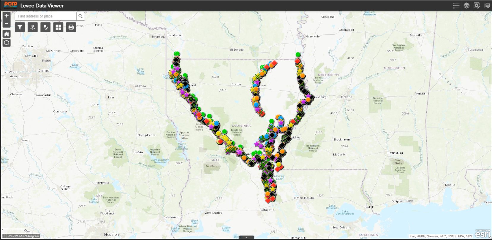
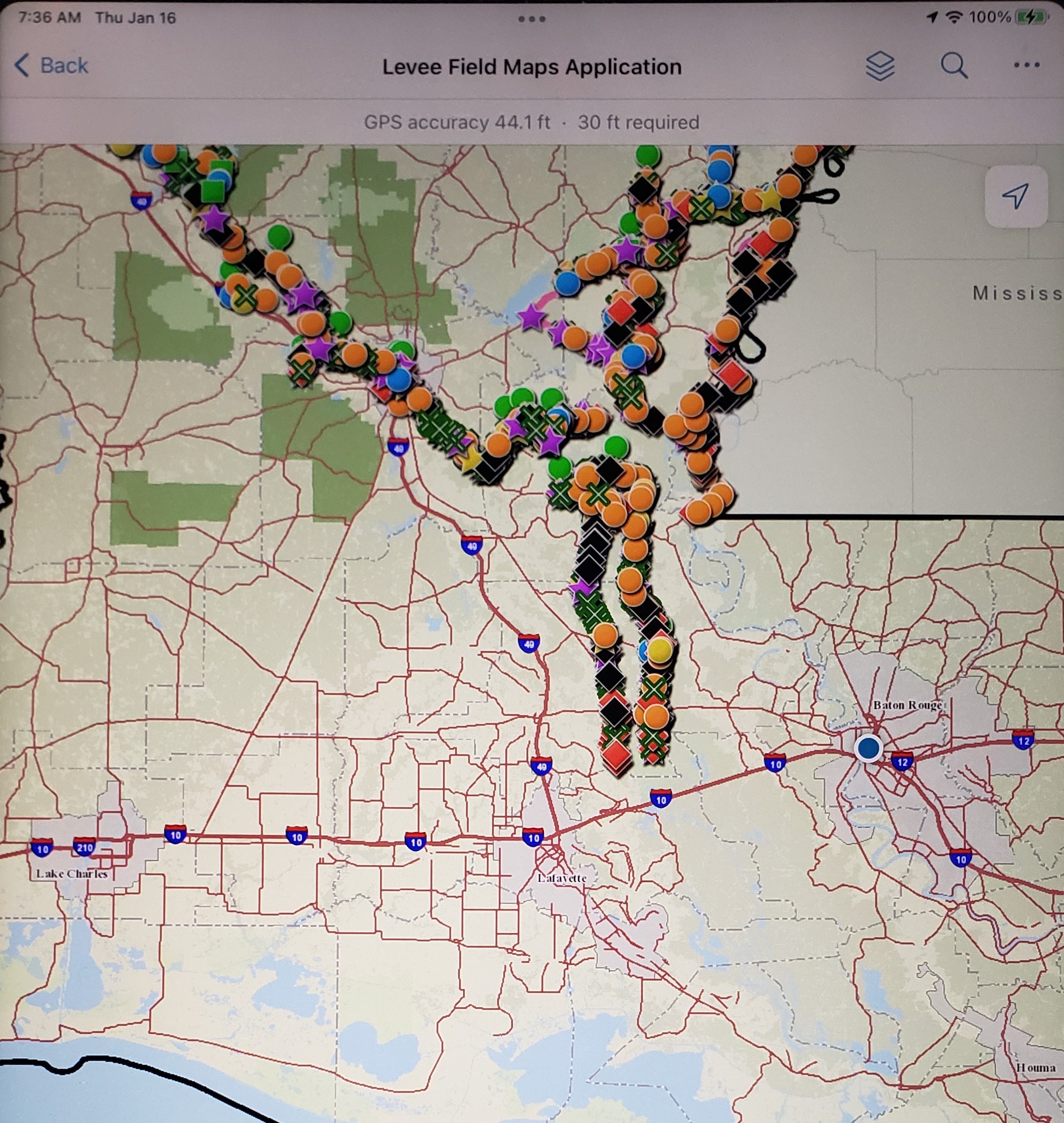
Louisiana Levee Inspection Program
The program uses the ESRI Field Maps Application on tablets that are integrated with GPS and cameras to accurately locate, capture, and document levee conditions. This information is then used to schedule and/or track maintenance activities along the levee systems.
The DOTD Levee Safety Unit assists the 8 levee districts in non-coastal Louisiana by conducting inspections using the latest GPS, GIS and database technologies.